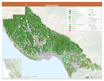
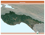
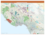
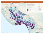
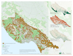
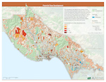
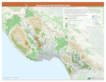
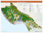
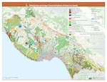
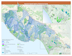
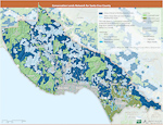
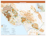
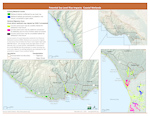
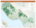
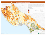
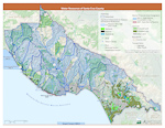
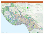
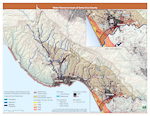
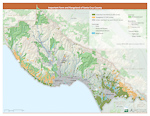
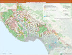
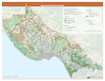
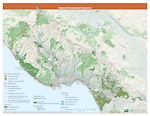
Maps from Conservation Blueprint Click below to download the maps that appear in A Conservation Blueprint. (These maps are high resolution PDF maps ~7MB each) Figure 2-1: Land Cover in Santa Cruz County Figure 2-2: Regional View of Santa Cruz County Figure 2-3: Protected Lands of Santa Cruz County Figure 2-5: Parcel Density Figure 2-6: Constrained Development Areas Figure 2-7: Potential New Development Figure 4-1: Multi-Benefit Areas Figure 5-1: Vegetation Figure 5-2: Globally Rare and Locally Unique Terrestrial Habitats Figure 5-3: Important Aquatic Systems Figure 5-5: Conservation Lands Network Figure 5-6: Habitat Patches and Landscape Linkages Figure 5-7: Wetland Loss and Potential Wetland Mitigation Areas Figure 5-8: Potential Climate Change Refugia Figure 5-9: Important Areas for Biodiversity Conservation Figure 6-1: Water Resources Figure 6-2: Water Supplies Figure 6-3: Water Resource Issues Figure 7-1: Important Farmland and Rangeland Figure 7-2: Timber Resources Figure 7-3: Working Lands Policy Protection Figure 8-1: Regional Recreational Resources More about the Conservation Blueprint
Click below to download the maps that appear in A Conservation Blueprint.
(These maps are high resolution PDF maps ~7MB each)